www.geodatenkatalog.de (S1L)
Search
Map
Sign in
Keyword
map chart
25 record(s)
Provided by
BKG-InGrid
(25)
Type of resources
Dataset
(20)
application
(3)
service-view
(2)
Service
(2)
Available actions
Viewable
(21)
Topics
Location
(14)
Imagery base maps earth cover
(5)
Boundaries
(4)
Environment
(3)
Structure
(3)
Inland waters
(3)
Planning cadastre
(3)
Keywords
map chart
(25)
Location
(14)
Europe
(13)
landscape
(6)
Imagery base maps earth cover
(5)
wood
(5)
bog
(5)
border
(5)
Boundaries
(4)
cartography
(4)
resolution (parameter)
(3)
traffic
(3)
swamp
(3)
water (geographic)
(3)
airport
(3)
Update frequencies
Annually
(15)
Continual
(3)
Irregular
(2)
As needed
(2)
Not planned
(1)
Monthly
(1)
Service types
view
(2)
From
1
-
10
/
25
Map on Demand (MoD) OpenData
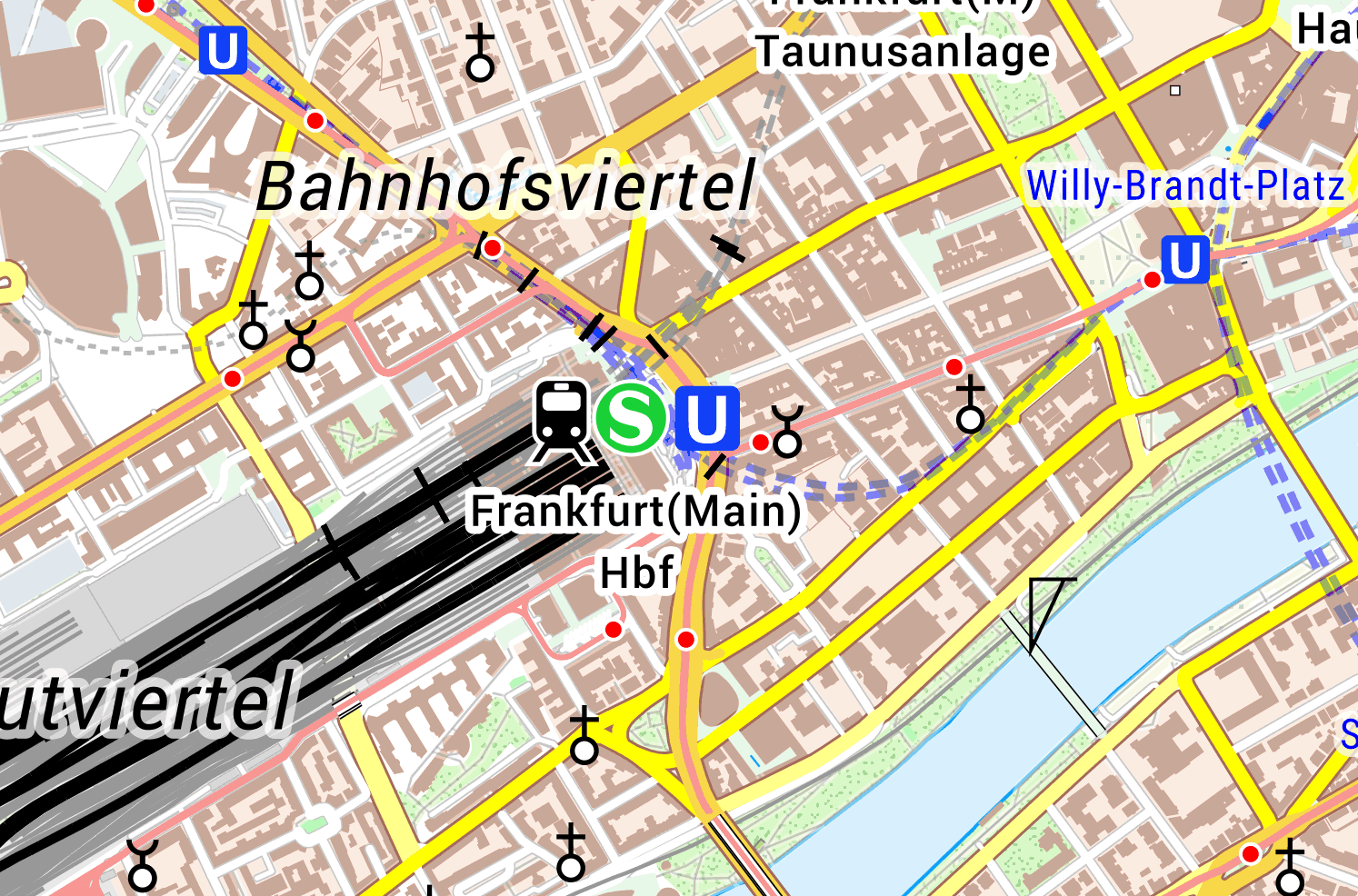
WMS Digitale Topographische Karte 1:100 000
Map on Demand (MoD) Bund
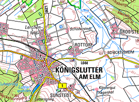
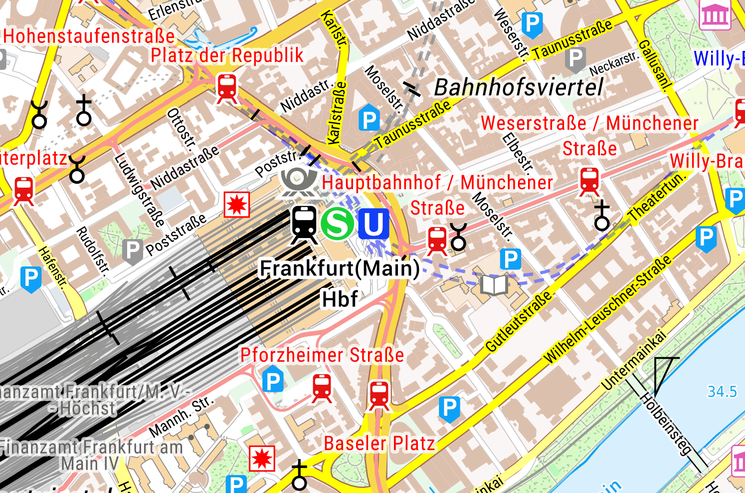
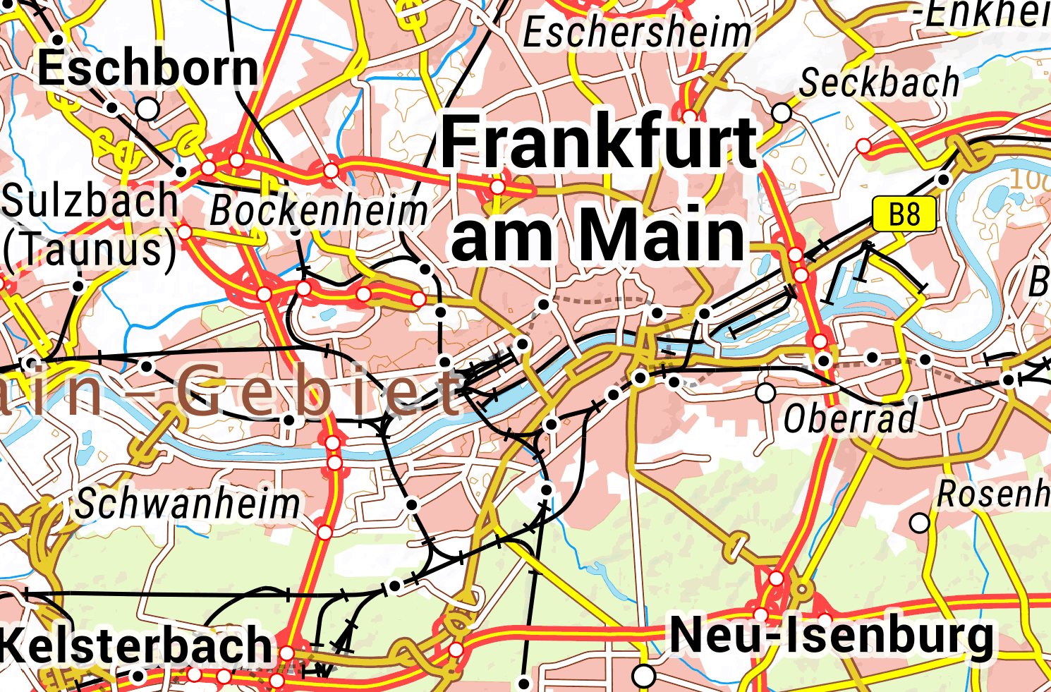
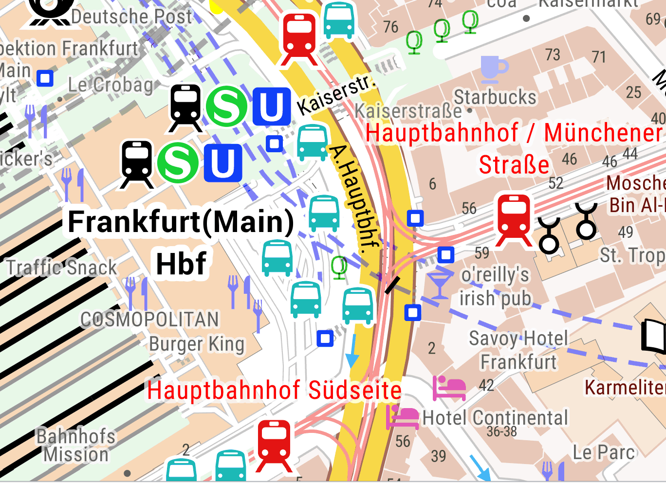
TopPlusOpen Präsentationsgraphik 1:17 500
TopPlusOpen Präsentationsgraphik 1:250 000
TopPlusOpen Präsentationsgraphik 1:5 000
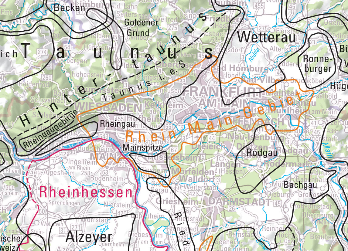
Landschaften Deutschlands
TopPlusOpen UTM32
TopPlusOpen-Light UTM32
TopPlusOpen Präsentationsgraphik 1:25 000
About
Github
Barrierefreiheit
|
Datenschutz
|
Impressum
✕
 www.geodatenkatalog.de (S1L)